Blog Perspective
by Civic Collection Team · 4 min read
Why the Map Comes First
Public art has a discovery problem. You might have seen the usual attempts at solving this: an alphabetical list on a webpage, a PDF walking tour, a spreadsheet on one steward's desktop. All of these are useful for record-keeping, but very little of it is useful to a person wondering about the mural across the street.
Everything about the work was decided on purpose
Think about what a public artwork goes through before it exists.
A city commissions a mural, a campus installs a sculpture. A selection panel reviews proposals against a written brief. A site is analyzed for sightlines, foot traffic, drainage, and if/if not the piece will be visible after dark. Budget discussions, art allocations, engineering signoffs, maintenance plans, conservator's estimates. Will the work stay for thirty years or come down after a season? The commission contract addresses copyright, artist credit, and what happens if art's home is redeveloped in twenty years.
These are deliberate, documented steps. Then the work goes up, there's a ribbon-cutting and a press release. Within a few years, or even a few months, the work goes quiet. The art is right where it was when it was installed, but it's no longer findable. You might happen upon it, and you might even see it every day. But someone with a different commute or daily routine likely couldn't find it, even if they wanted to.
Now picture a museum operating that way. A curator acquires a painting, the registrar catalogs it, the conservator writes a treatment plan, and then somebody hangs it in a service corridor off the loading bay to see whether visitors find it. Museums like that do not exist. Museums publish floor plans, room guides, wall labels, audio tours, and a website listing every object, because acquiring a work and giving people a way to reach it are two parts of the same job.
A list answers the wrong question
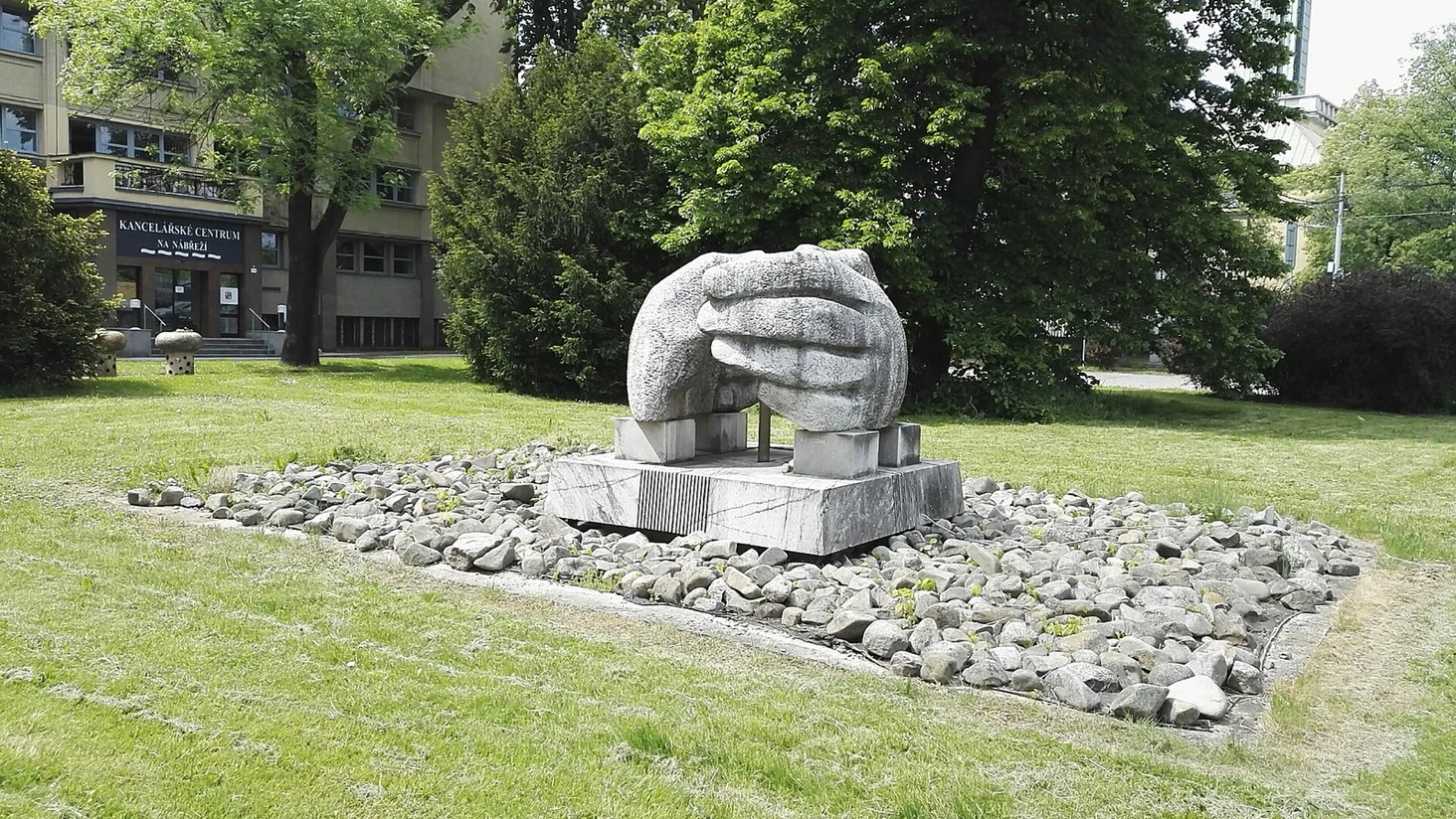
Lists can tell us what's in a collection, when it was commissioned, and who made it. This is incredibly useful information from a documentation perspective, but to a visitor, a list is mostly noise. They want to know what it is, where it is, and how to get there.
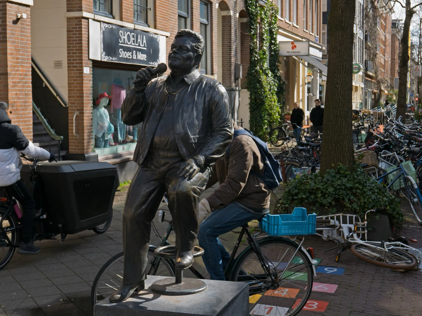
People ask spatial questions. What's near me? If I walk ten more minutes, what else is out here? A list might have this information, but spreadsheets fail to answer spatial questions, while a map answers all three at a glance. That's why every guide we publish opens on a map, with the catalog just a tap away.
What changes when the map comes first
- Proximity handles some curation automatically. By surfacing whatever happens to be close, your map draws visitors to lesser-known works near more popular landmarks instead of burying them in a list. When the next artwork is only eight minutes away, it's easy for visitors to search for "just one more" and make an afternoon of it.
- Your list becomes an experience. Put down three pins, and you've already made a walking tour. Your visitors can create and share their own tours, and your editors can formalize the best ones. Build and share collections and tours just like a museum, with attention that public art rarely receives.
Reading spatial insights
Once your content appears on a map, you may find yourself surprised at the insights it provides.
High-level density gives you a quick picture of where your collection is thriving and where it could use some investment. Thin patches show which neighborhoods the program has quietly skipped. Maybe it's worth communicating underserved areas to the city, so the next mural can go up in an area that hasn't received funding for a while. City programs and arts councils benefit from these sorts of screenshots when they present to council.
None of this retires your catalog. When you need to view every piece by a single artist, or a conservator is planning a condition survey by year, or someone just wants to browse the collection from home, a sortable, searchable list beats a map every time. So our guides keep both: the map greets visitors, and the full catalog is there behind it every step of the way, easily accessible by one click.
Calgary Arts Development took that approach for the Calgary Public Art Guide, and the collection it holds has been findable ever since.
If you steward a collection (a municipal program, a campus, a BIA, a festival), the fastest way to get people to visit the work is with a map. Book a demo and we'll plot your collection together.