Interactive map
Public art deserves to be found
Every artwork, mapped and storied, in every visitor's browser.
Made to be explored
The map, the stories, and the routes, in one guide.
- See it running in Calgary →
Opens on a map
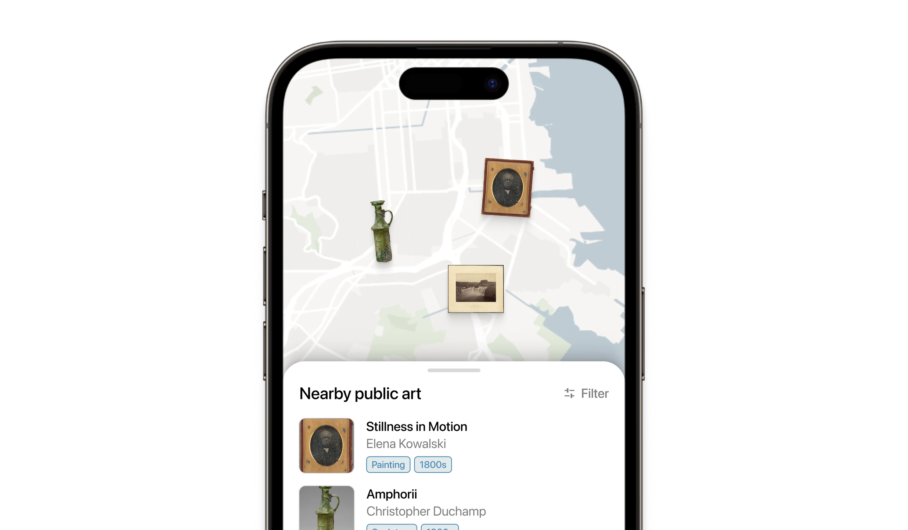
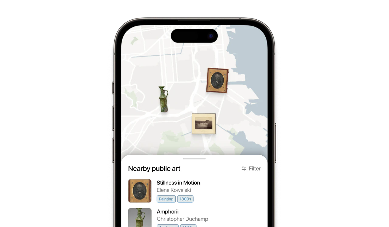
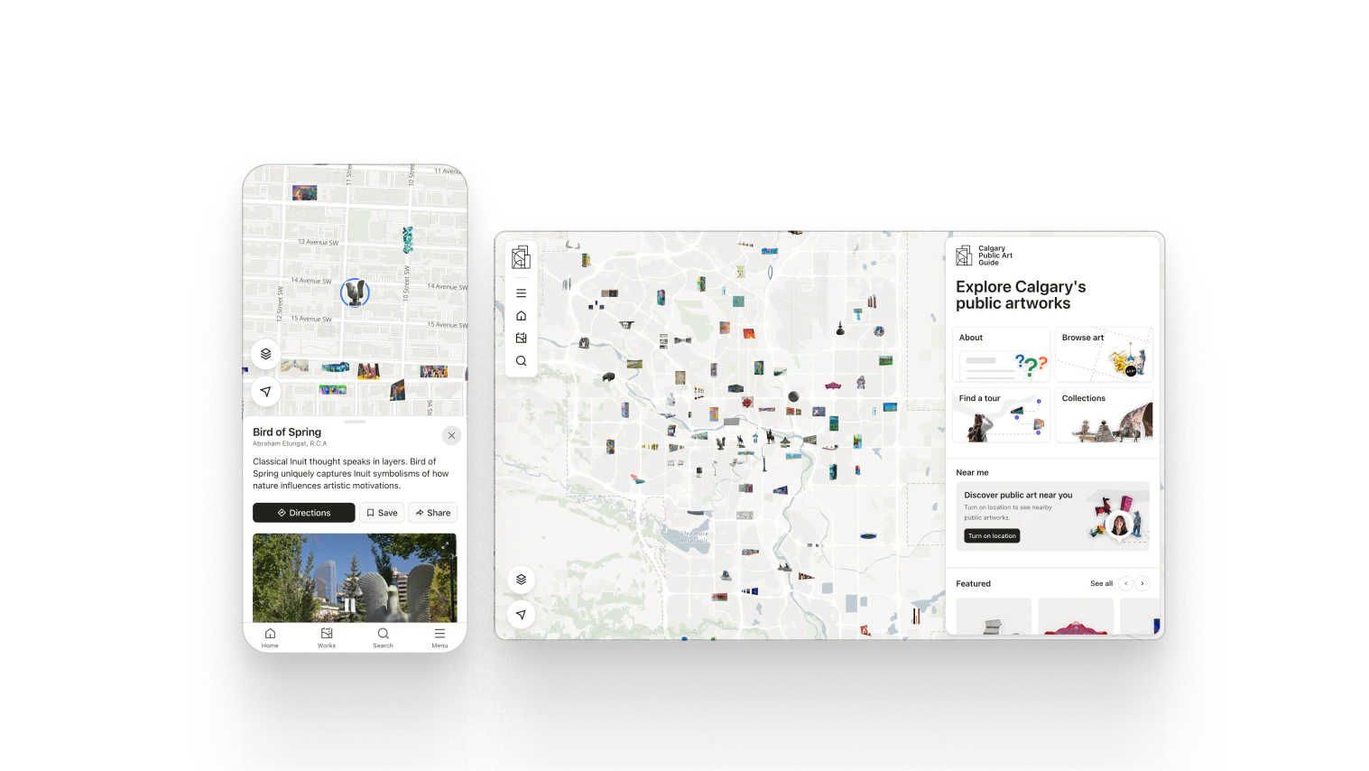
Nobody experiences a collection alphabetically. The guide opens on a map of the city, with the catalog a tap away.
- About the catalog →
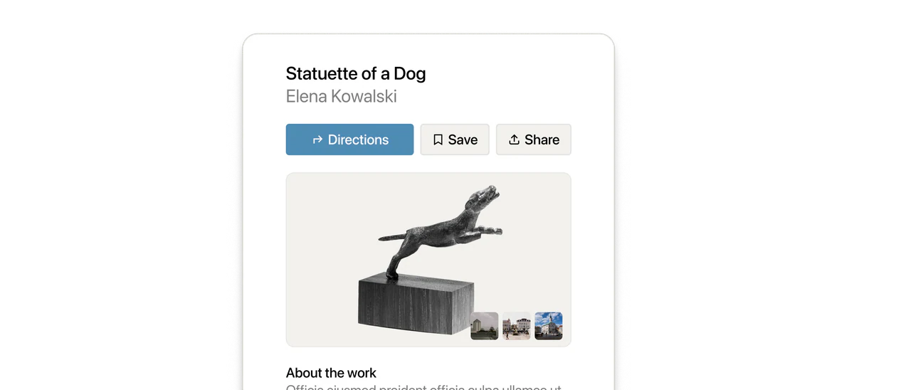
A page for every artwork
Photos, artist credit, materials, and the story behind each piece, drawn from a catalog your team keeps current.
- See a live guide →
Self-guided tours
Curated routes with turn-by-turn walking and cycling navigation, followed at the visitor's own pace.
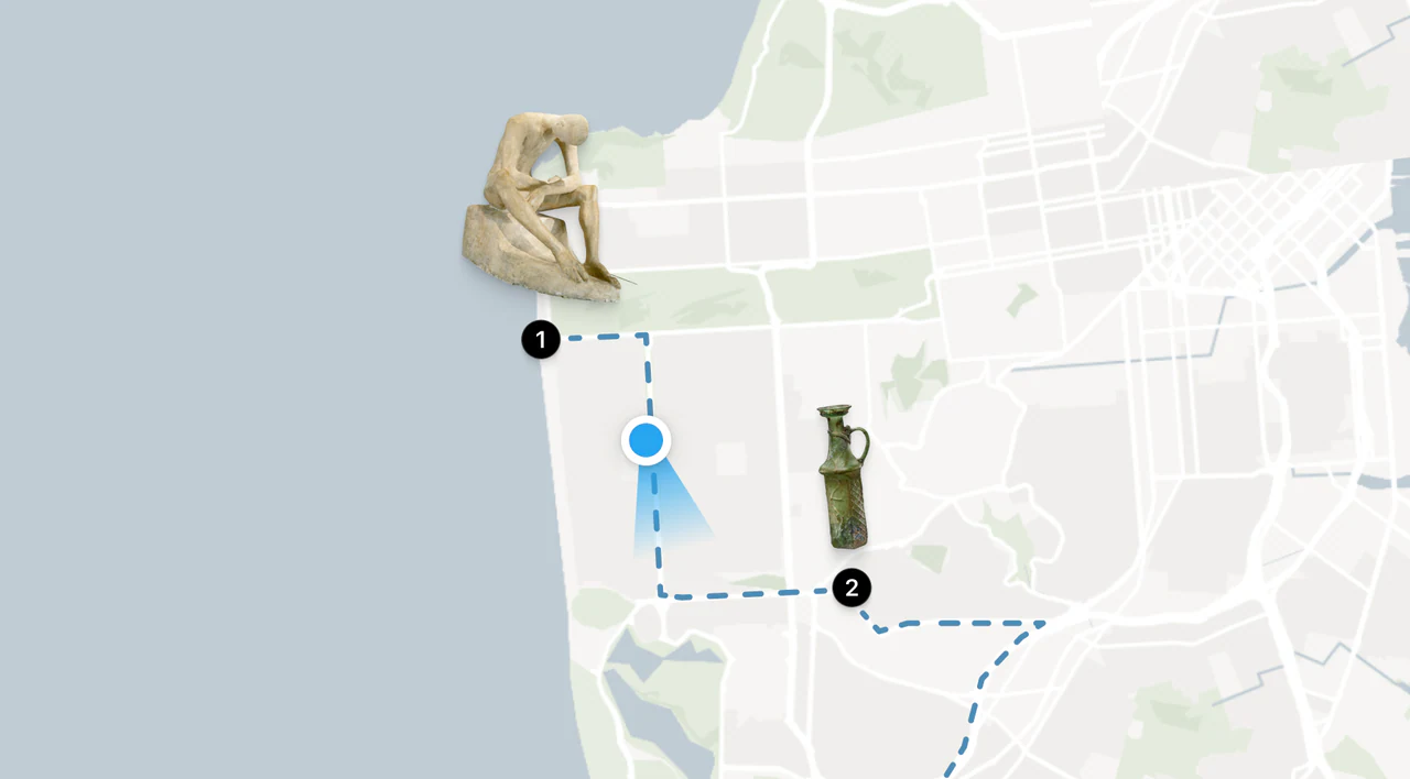
A curated walk, not a printed map
Editors compose tours from the catalog, and visitors follow them with turn-by-turn walking or cycling directions at their own pace. When a route changes, the published tour changes with it.
See it live
The Calgary guide, exactly as visitors use it.
-
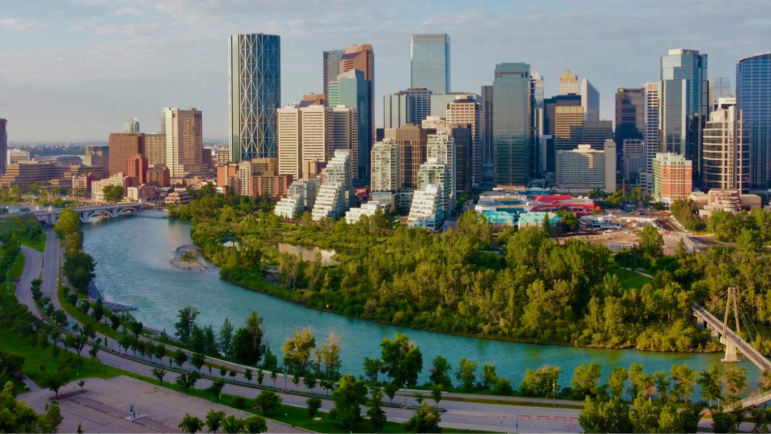
Live in Calgary — Commissioned by Calgary Arts Development and launched in 2025.
-
Every city ward — Murals, sculptures, and installations across the whole map.
-
Open-data connected — Reads City of Calgary open data, so civic geography stays current on its own.
Every screen you see here is the real product, running today across the whole of Calgary.
Read the case studyBuilt for the person standing on the sidewalk
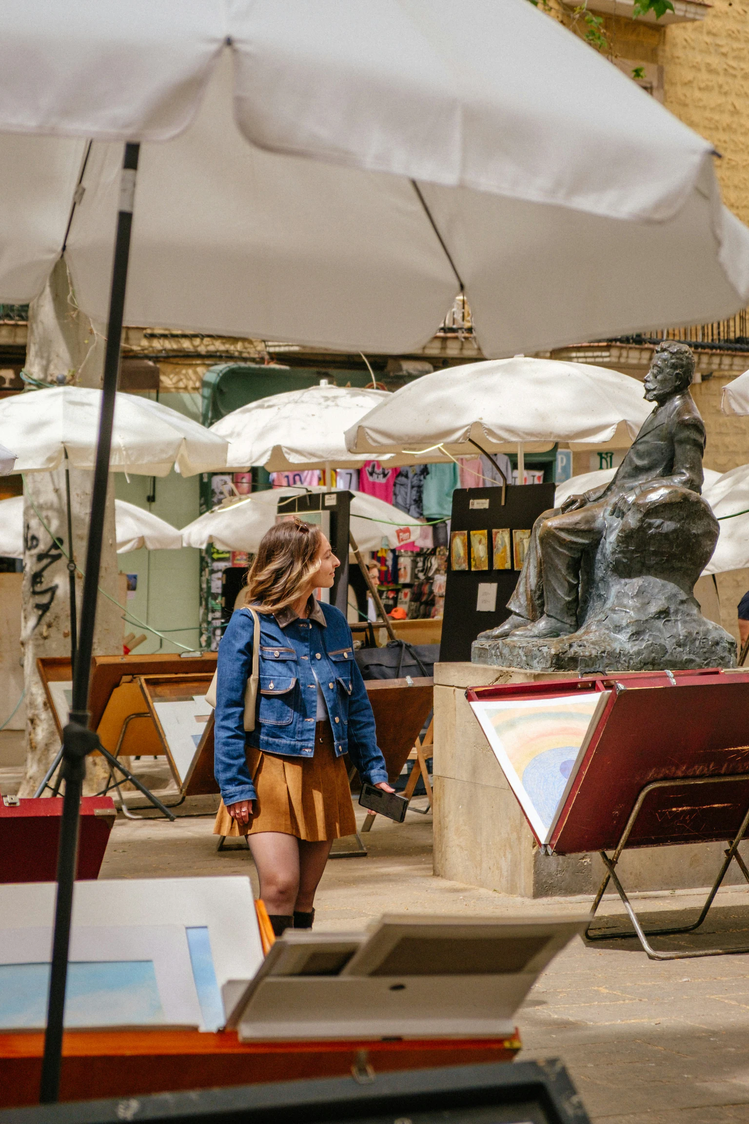
A guide that works where the art does, outside, on a phone.
-
In every browser
Works on the phone already in their pocket. Nothing to install, nothing to print.
-
One link to share
Programs, festivals, newsletters: send a single URL and the guide works on every screen size. No printing, no retired PDF.
-
Depth where it counts
Artists, mediums, neighborhoods: filters that reward curiosity instead of burying it.
-
Engineered to be found
Server-rendered pages, structured data, and sitemaps put every artwork in reach of search and AI assistants.
You publish, we operate
The map is infrastructure, not a campaign.
-
No developer in the loop
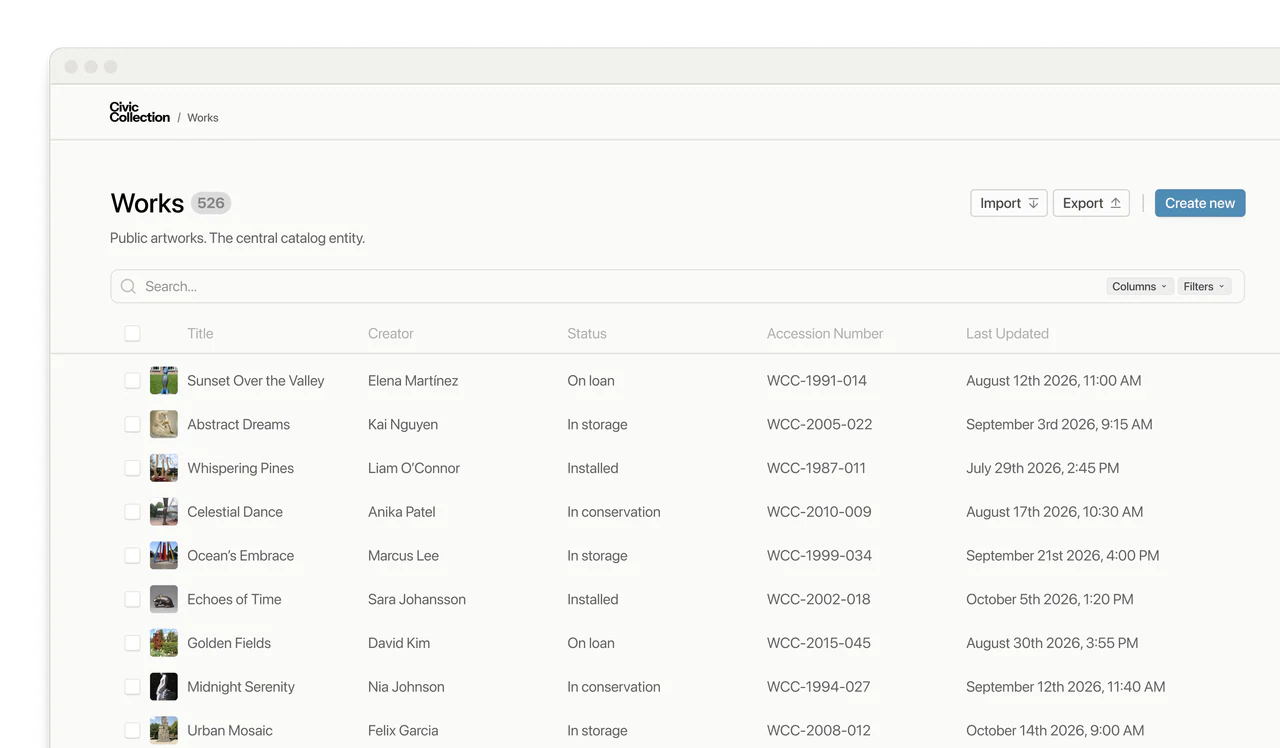
Editors manage artworks, artists, and tours through a simple admin. Changes go live without a ticket.
-
Operated for years, not a season
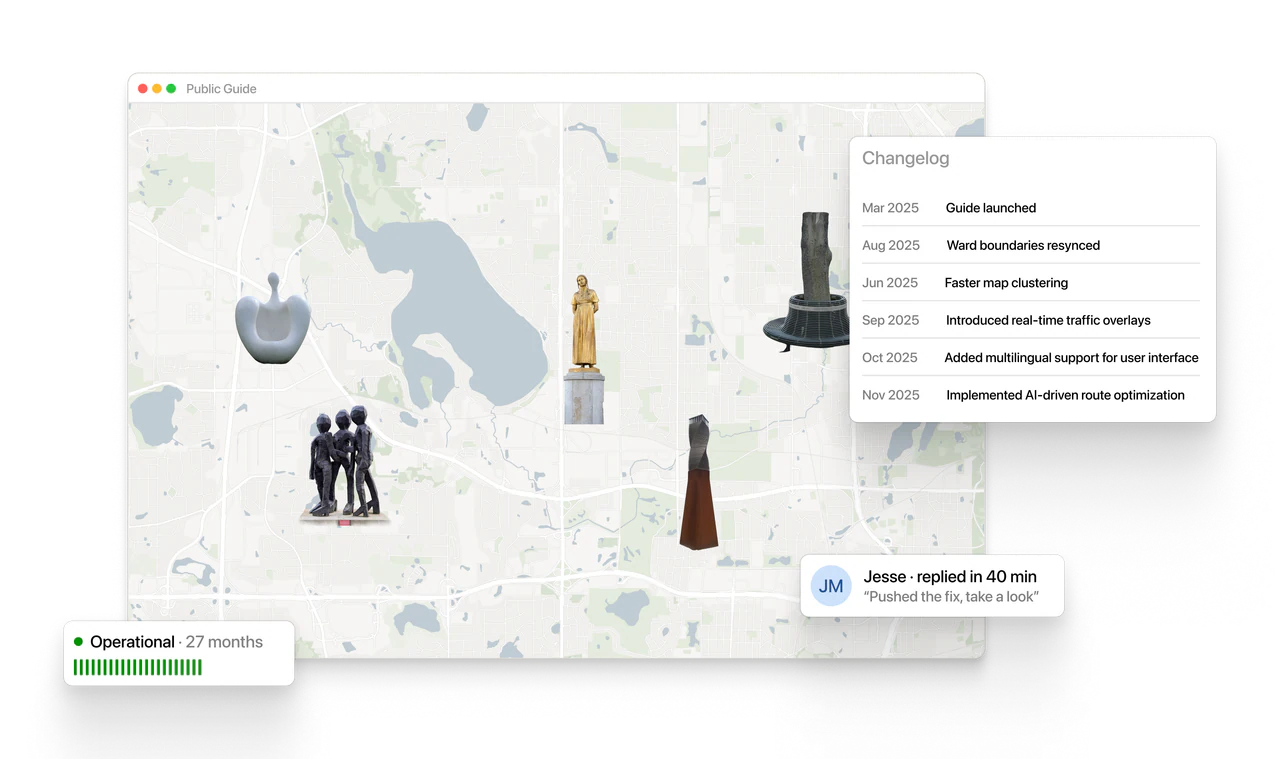
We host, maintain, and improve the guide after launch. It keeps growing as the collection does.
FAQs
Do visitors need to install anything?
No. The guide runs in the browser on the phone already in their pocket: nothing to install, nothing to print.
Can we build and change tours ourselves?
Yes. Editors manage artworks, artists, and tours through a simple admin. No developer in the loop.
How do people find the guide?
Every artwork gets its own server-rendered page with structured data and sitemaps, so the collection is reachable from search, and one link works everywhere your program already talks to people.
What happens when an artwork moves or is repainted?
Your team edits the record and the change goes live. Visitors can flag what changed with suggest-an-edit, so the map keeps pace with the street.
Is there a live example?
Yes. The Calgary guide is live today, with artworks in every city ward. The best tour of the product is the product.