Blog Field notes
by Civic Collection Team · 6 min read
Where Is It, Actually? Pinning Public Art on a Map
So, you've documented a public art piece with some great photos and pinned it to an online art guide. One of your visitors opens the guide, follows your instructions exactly, and starts walking. After a brisk ten-minute walk, they're standing exactly where you promised a beautiful sculpture, but they're staring at the side of a dingy parking garage.
As far as you're aware, your coordinates were right, and should be accurate down to the meter. So what went wrong?
Perhaps you tagged the coordinates based on an address, not the physical location of the sculpture. Maybe the sculpture is inside the garage, and it's locked on weekends. Or maybe your visitor was actually standing right next to the sculpture, but facing the wrong direction.
Location isn't just precise latitude and longitude or address data, but also real-world instructions and accessibility considerations. Getting a person to the general area of an artwork is one step, and having them find the art itself is another.
How precise are geopoints, really?
A degree of latitude covers approximately 111 kilometers, and every decimal place you add divides that by ten. Four places gets you within 11 meters, five places gets you 1.1 meters, so on and so forth. Longitude behaves a little differently since those lines converge toward the poles, so six decimals might be accurate within approximately 7 centimeters there instead of 11. For our purposes, five or six decimal places should be more than accurate enough for a public art guide.
So with this level of accuracy, why might a geopoint with five or six decimal points still be inaccurate? Your first step would be to look up: are you under an open sky, or downtown, surrounded by tall buildings? Public art usually has a higher concentration in downtown areas, surrounded by tall buildings, where phone signals bounce and geolocation badly degrades.
If you're working with existing photos, you might find that their metadata sets a geopoint with only two or three decimal points, or it might be lacking geopoints entirely. If this is the case, and you're lacking accurate geopoint data, what's the next step?
Getting a new geopoint
If you need to grab the geopoint yourself, your best options are:
- Drop a pin on an online map. Open up your mapping app of choice, search the artwork's known address, place a marker at your best guess for the artwork's position, then grab the pin's coordinates. This approach allows you to grab locations quickly, but it's also a guess based on an aerial photograph that could be several years old, so may not be as accurate as you'd like.
- Grab it from a photo's metadata. Phones and most modern cameras write GPS coordinates into image files, provided your location services are on. If you've got a photo of the art piece available on your computer or phone, try searching "get latitude and longitude from image" for your preferred platform, and you should fairly easily be able to extract it if it's present. Bear in mind that screenshots, messaging apps and email can strip this metadata, and that cameras and phones record where the photographer stood rather than where the artwork is. This means that a mural shot from across the street could be pinned to the wrong side of the road.
- Take a reading on site. Traveling to the artwork's location and deliberately grabbing the geolocation on your phone is the most accurate method of procuring geolocation, but also requires a lot more legwork. This extra effort can make a big difference, though, as a photograph, a pin, and the date you stood there are already most of a real record.
Whichever route you take, look at the finished pin on a satellite view before you save it, to ensure that the location reported by your device is accurate to where you're actually standing.
Which point on the artwork gets the pin?
Let's say a mural you're documenting runs sixty meters along a wall, a sculpture has a front and a back, or a trail exhibit scatters a dozen small stations across a park. Which position do you choose? For a public guide, the best pin for a large or complex art piece is rarely the center point of the work, but instead the position where you'd be most likely to stand and view the work.
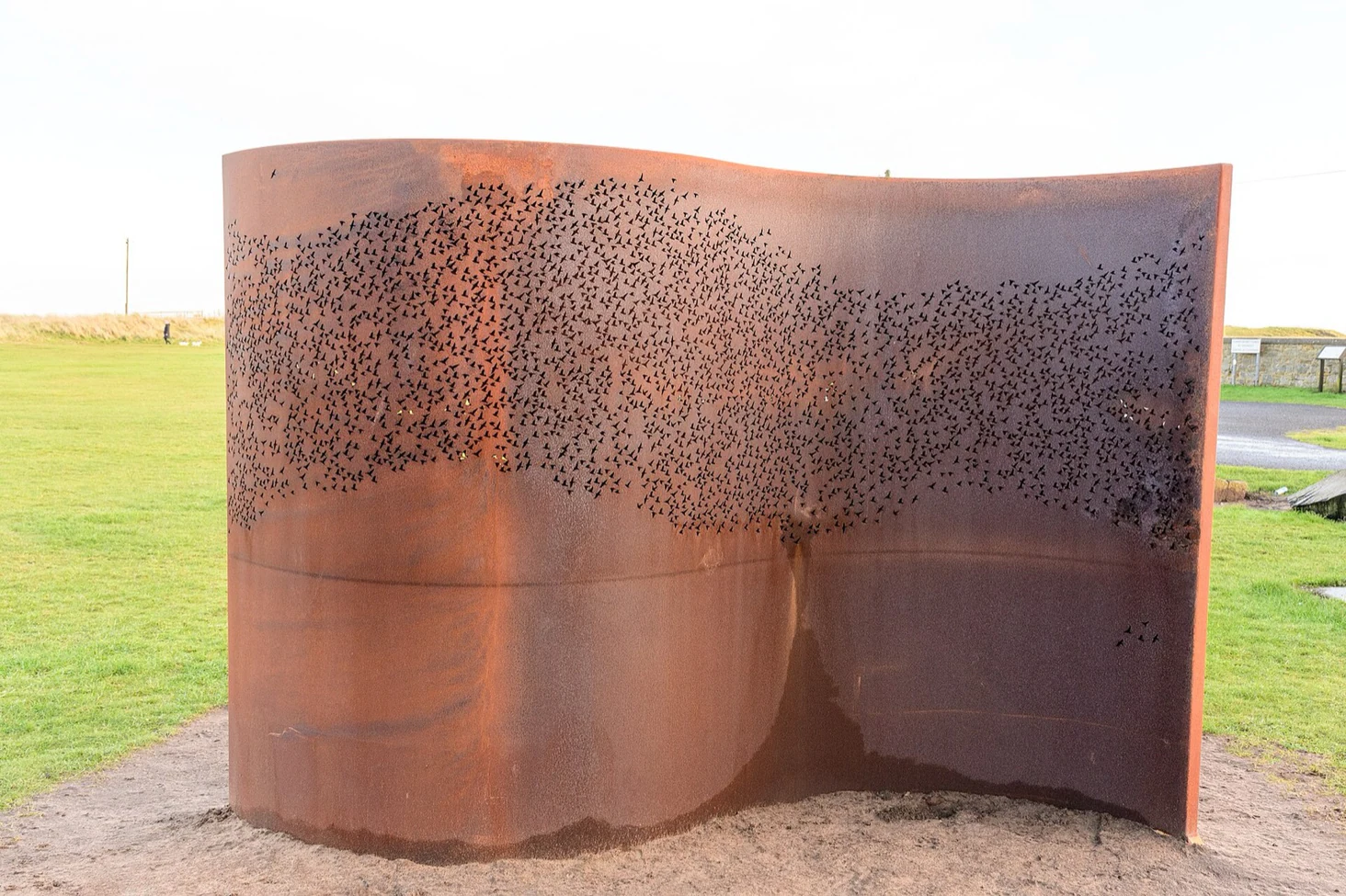
If the pin isn't enough to communicate an exact location for a complex piece, be clear about positioning in your description. Our field checklist asks for a site description alongside the coordinates, like "northeast corner of the plaza, facing the river." Descriptions like this can clarify positioning for your visitors in a way that a precise geopoint sometimes can't.
What if the area isn't open 24/7?
Satellite positioning works poorly indoors, and it's not great for telling your visitors which floor or corridor a work is on. In this case, pin the entrance of the building, then describe the position of the artwork in plain language. Which building, floor, wing, or room will you find the artwork in? Picture yourself standing in the building lobby, and walk your visitor through the experience of finding the art piece.
Corporate plazas, transit stations, and shopping centers are all common areas for public art, but 24-hour access isn't always available. Campus collections are the clearest case, where a single work might live in a building that opens at seven, closes at eleven, and locks over the winter break.
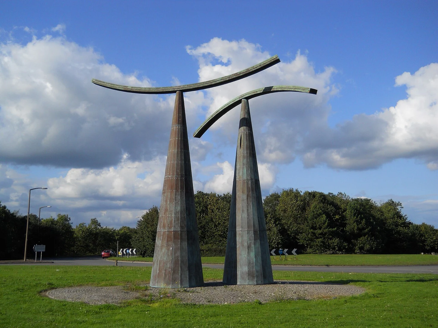
Our own records carry a field for Access Hours for this very reason. Even if you provided an accurate geolocation, if your visitor walks twenty minutes to a locked courtyard, they're right to conclude that your guide was wrong. Hours also make routes easier to plan, since if you're looking at art on a Sunday evening, you'd best bypass an art piece that isn't open on weekends.
Bear in mind that none of this needs to be perfectly polished before an art piece goes on your map. Five decimal places, a sentence about where to stand, and notes about the nearby gate's hours are the ideal situation, but fill in your data when you can. Crowdsourcing these geopoints can get you to a good baseline, and will more often than not give you enough to get people started. Every piece on the Calgary Public Art Guide is intentionally pinned, but some locations used online maps, some used photo metadata, and some used manual pin drops. Use the method that works best for you and your workflow, and offer descriptions and hours to the best of your abilities to ensure that your visitors arrive when the artwork is accessible.
If you steward a collection and want to see how your own coordinates land, plotting them on a real interactive map beats auditing them in a spreadsheet. Book a demo and we will pin your collection together.